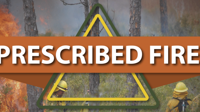

FLAGSTAFF, Ariz. — April 4, 2025 — Fire managers from the Flagstaff Ranger District are tentatively planning two large-scale, highly visible prescribed burns this week aimed at reducing wildfire risk around East Flagstaff. These operations are part of long-term fire prevention strategies and will produce noticeable smoke across the area — making it more important than ever to follow Flagscanner for the latest alerts and real-time updates this fire season.
✅ Why This Matters:
With another active fire season expected, staying informed can help you avoid dangerous conditions, plan safe travel routes, and protect your loved ones. Flagscanner.com provides real-time community-sourced alerts, detailed incident maps, and immediate updates on wildfires, prescribed burns, road impacts, and more — follow us now so you’re not caught off guard.
🔥 Prescribed Burn #1: North Weatherford Project
-
When: Planned for Tuesday, April 8
-
Where: ~8 miles NE of Flagstaff, near Doney Park and Timberline-Fernwood
📍 Map location -
Size: 491 acres
-
Burn Type: Broadcast “initial entry” burn — denser smoke due to long-unburned vegetation
-
Smoke Impacts:
-
Highly visible smoke expected from Flagstaff
-
Affects U.S. Highway 89, Elden Springs, Timberline, and Doney Park
-
Moderate overnight smoke likely in low-lying areas
-
-
Purpose: To reduce thick layers of pine litter and debris, creating a wildfire buffer zone to better protect homes and infrastructure
🛑 No official closures are planned, but the public is urged to avoid the area for safety.
🔥 Prescribed Burn #2: South Campbell Mesa Project
-
When: Planned for April 9–11 (Wednesday–Friday)
-
Where: ~7 miles E of Flagstaff near Continental Country Club neighborhoods
📍 Map location -
Size: 2,053 acres
-
Burn Type: Combination of initial entry and maintenance burns
-
Expect thicker smoke in some areas and lighter smoke where fire has been used recently
-
-
Smoke Impacts:
-
Interstate 40, Walnut Meadows, Walnut Canyon, and Cosnino may be affected
-
Light smoke during the day, moderate overnight smoke likely in lower elevations
-
-
Purpose: Strengthen fire buffers to reduce the chances of catastrophic wildfire near East Flagstaff
🚧 Some trails in the Campbell Mesa system will be temporarily closed during the burn period.
🚨 Stay Ahead of the Smoke and Flames
Conditions for these prescribed burns — including weather, fuel moisture, and personnel availability — are subject to change. Plans may be postponed, adjusted, or canceled with little notice.
🔔 Flagscanner.com will provide immediate alerts about any changes to these projects, along with smoke advisories, traffic impacts, and fire perimeter mapping.
🛑 Don’t Wait Until It’s Too Late
Follow Flagscanner now on your preferred platforms and bookmark Flagscanner.com to stay informed. Whether it’s a prescribed burn or a fast-moving wildfire, being in the know can make all the difference.

